|
 |
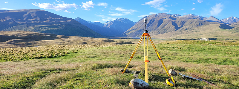
We enjoy a wide variety of work. Our recent work has included: re-establishing level benchmarks across Christchurch, geodetic control surveys, laser scanning a glacier to understand the effect of summer-time thaw, a laser scan of a street scene for a computer gaming company, laser scanning a Peter Jackson film set, the engineering setout of the new $10M Ashley River Bridge and on-ramps, a hydrographic survey of a lake to determine storage volumes, a hydrographic survey of oxidation ponds to determine remaining capacity and assisting with the tenure review survey of a high country station in the Southern Alps (photo above). Our daily work includes rural & urban subdivisions and boundary adjustments, we demarcate boundaries, conduct topographic surveys and precisely setout buildings for construction. We use the latest Trimble R10-2 GNSS (GPS, GLONASS, SBAS, Galileo & BeiDou), a Trimble VX spatial station and a Trimble TX8 3D laser scanner. These precise surveying tools lets us survey in ways that were, until recently, impossible. |
|
|